|
Carmel Releases Map of Proposed Street Addresses
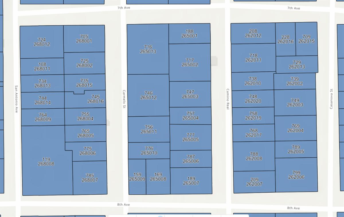
Carmel residents who want to see what their street addresses might be under a proposed system being tested by the city can view them via an interactive map launched today. The map provides an opportunity to see how a standardized system would work — ending more than a century’s tradition of using directional addresses that are not recognized by the U.S. Postal Services, utility companies and other entities — and to provide feedback.
The draft map shows numbered addresses based on assessor’s parcel numbers, but also identifies a few areas where the system has been unable to assign addresses, including some multifamily residences and other random parcels, which are indicated in brown. Annexed areas of the city are also shown in brown, since their numbers will not change.
“The address number assignments in this map have not been finalized or implemented and are still subject to final approval by the City of Carmel-by-the-Sea City Council, County of Monterey and USPS Address Management Systems,” city officials said. “None of the draft address number assignments should be used for providing your location officially or unofficially.”
The street address group, which includes councilman Bob Delves, administrative analyst Emily Garay, and residents Nancy Twomey, Kevin Ruess and Paula Hazdovac, will host a walk-in session at city hall in council chambers Jan. 23 from 1 to 3:30 p.m., when community members can stop by to ask questions about their proposed address numbers and other aspects of the change-over, which is expected to be completed in May.
To use the proposed map, visit ci.carmel.ca.us/street-addresses.
|